Interactive Heritage Map
Click on the image below
The Heritage Map has a number of layers which can be turned on and off using the visibility symbol (an eye) on the left. The layers reflect different census and valuations and the markers represent households. More information can be obtained by clicking on the markers. The Interviews and Stories layer contains videos made in 2019 as was the information on the Loca Info Layer.
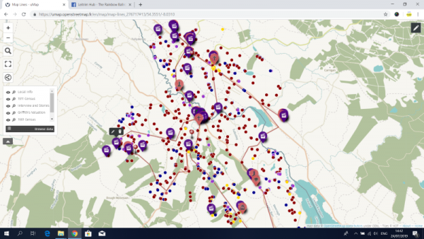
Map created as part of Supporting Kiltyclogher and Cashel Communities Peace IV Project which was supported by the European Union’s Peace IV Programme, managed by the SEUPB.